1808 Wellington Avenue, Winnipeg, Manitoba R3H 0G3, Canada
November 4, 2024 - November 5, 2024
Welcome to CCMEC.
CCMEC is a meeting place for all stakeholders in the mineral exploration and mining industry in central Canada including investment firms, exploration and mining companies, Indigenous groups, Government officials, prospectors, ESG organizations, suppliers, and academic institutions.
Our 2024 event is being at the Victoria Inn Hotel & Convention Centre, November 4 & 5, 2024
Only those who have consented to having their information shared will be listed here. To consent and have your information added, go to your ticket, click View/Edit and enable the share consent statement at the bottom of your ticket.


Maxime Bergeron Quirion

Rob Brogan

Monique LaBossiere

Darryl Chubak

Neil Richardson
Neil Richardson

Steve Procyshyn

Cassandra Ruggiereo

Leanne Gasiorowski
| Description: | The method consists of placing transmitter electrodes at ‘infinity’ perpendicular to the dominant target trend and reading electrode voltages with a receiver across at least three borehole pairs over many depth combinations. The data are georeferenced in 3D and input to inversion modeling software to produce a 3D resistivity image between the boreholes. Three examples are presented: small scale for void detection, medium scale for bedrock characterization, and large scale for mineral exploration. Future developments include super large scale for investigations under existing mining camps, automated ‘robots’ to operate winches at multiple borehole pairs with customized software, enhanced quantitative interpretation for near-borehole anomalies and effects, and modeling various target scenarios for critical mineral exploration. Abstract Title: Red Relief Image Map (RRIM), A New Visualization Method of 3D Data for Mineral Exploration This presentation will go over the benefits of Red Relief Image Mapping, and how this new visualization method can assist in mineral exploration. High resolution 3D topographic data potentially holds useful information which cannot be expressed by ordinary visualization methods. Red Relief Image Mapping (RRIM) is a new method based on multi-layered topographic information computed from gridded 3D data (DEM). RRIM can visualize the topographic slope, concavities and convexities at the same time. Any user can quickly and clearly read and interpret the data with minimal instruction and no need for GIS or Geomatics training. |
|||
|---|---|---|---|---|
|
|
||||
| Description: | Abstract: The Company is currently launching an ambitious exploration and development plan that will complement its ongoing efforts to commission the next lithium mine in the province at its Donner Lake property. Currently, the MM project captures 50 million tonnes of pit-constrained Cu-Ni-PGE resources. The project comprises two discrete mineral trends: (1) The Makwa Domain, which includes several nickel-rich disseminated magmatic sulfide deposits hosted by the Ultramafic Series of the Bird River Sill; and (2) The Mayville Domain, which features a series of predominantly mafic intrusive bodies that host high tenor, copper-dominant, disseminated sulfide mineralization.
The first step in the campaign is the completion of a series of new, deep-penetrating, high-resolution airborne EM surveys to support the first belt-wide search for feeder-related massive sulfide deposits. The next major step will involve exploration drilling and associated lithogeochemical and downhole geophysical surveys. Drilling will initially focus on a 4km long trend of mineralized gabbro that includes the historical New Manitoba deposit. The Company has set the dual goals of doubling the current open pit resources and adding new high-grade massive sulfide discoveries. If successful, the project would support Manitoba’s first new critical metals mining hub in many decades. Abstract: Alamos’ Lynn Lake Gold Project: Exploration Processes and Greenfields Discoveries Alamos Gold acquired the Lynn Lake Gold Project in 2015 and spent the first five years drilling at and near the three historic mine sites: MacLellan, Gordon, and Burnt Timber. Since 2020 the focus has been on systematic exploration to cover the entire 58,000 Ha property. This presentation will discuss the exploration methods employed by Alamos which have been key to exploration success, and provide an overview of two greenfields discoveries in Tulune and Maynard.
|
|
|---|---|---|
| Sponsor: | ||
|
|
||
| Sponsor: | ||||
|---|---|---|---|---|
|
|
||||
 Mike Armstrong, Permit Office Manager, Province of Manitoba
| Description: | In the mining Industry, Manitoba has a dedicated Permit Office (PO) to coordinate and administer Work Permit review, circulate information, and approve processes. The PO serves as a central liaison for industry to navigate Manitoba policy and legislative requirements and coordinates communication as efficiently as possible between proponents and subject matter experts within several government branches and departments. This presentation will provide more information about the PO, including the procedures and processes that are followed from start to finish for issuance of a Mineral Exploration Work Permit. Further insight will be provided on what makes a successful project including more information on Indigenous inclusion. The PO and MAMI recently worked together to standardize work permit conditions and updated the guidelines for Mineral Exploration to support the industry. The presentation will wrap-up with a live demo of the new resources available to proponents to support the work permit application process to make it easier to navigate the early stages of mining exploration. |
|
|---|---|---|
| Sponsor: | ||
|
|
||
| Sponsor: | ||
|---|---|---|
|
|
||
| Description: | Abstract - Exploring for Nickel (Alan Aubut) In this session of Prospecting – Where it all Begins industry expert Alan Aubut will look at exploring for rare but of high value nickel deposits. Many are associated with komatiite flows hosted by sulphidic sediments within extensional basins, this allowed the mantle-derived ultramafic magma to come in contact with those sulphidic sediments allowing contamination and partitioning of nickel into the sulphides. Extensional basins are common in many Archean greenstone belts and are characterised by Oxford Lake Group or Temiskaming sediments and include deep-water sulphidic argillites. Examples of this type of environment include the Wollaston Lake area of Saskatchewan, Island Lake greenstone belt in Manitoba, the Shebandowan greenstone belt in Ontario and the Animikie basin, also in Ontario. Abstract Title: Till Geochemistry Vectoring and Exploration for Magmatic Ni, Cu, Co and PGE’s in the Thompson Nickel Belt, North Central MB. (Garry Thorne)
Abstract: The Art of Prospecting (Tom Lewis) Industry expert Tom Lewis will share that prospecting is an art, with scientific assistance, that is in the business of finding ore. Prospectors have had to adjust to the modern reality that minerals and metals are a depleting resource, and the easy discoveries have been found. Prospectors have had to develop new skills, from negotiating a fair agreement, through the exploration cycle, to developing business acumen to option their property to prospective buyers, or convincing management that their property should advance to the economic assessment stage. Tom will draw from his personal experience, the experience of others as well as papers on the subject. |
||
|---|---|---|---|
| Sponsor: | |||
|
|
|||
| Sponsor: | |||
|---|---|---|---|
|
|
|||
 Simon Gagne, Kinross Gold,
| Description: | GeologicAI is a global leader in rock and resource analytics and digitization, offering a cutting-edge solution that combines high-end robotics, state-of-the-art sensors, AI, machine vision, and leading resource modeling algorithms to empower mining companies with risk-qualified decision-making for their mineral deposits. At CCMEC GeologicAI will introduce its technology, present some of the applications of AI and core scanning with its products and then look into some cases of this in action and the value it can bring in downstream decision making. Title – 3D-GEm: A Geophysical Exploration Breakthrough In this CCMEC session Emmanuel Ramos describes 3D-GEm, an innovative geophysical tool, employing natural electromagnetic (EM) signals to create detailed 3D maps for geological exploration. Emmanuel hopes that the convenience, versatility, and scientific value of 3D-GEm can enhance the energy, minerals, and geological exploration in Canada. The features of this new geophysical tool include:
|
||
|---|---|---|---|
| Sponsor: | |||
|
|
|||
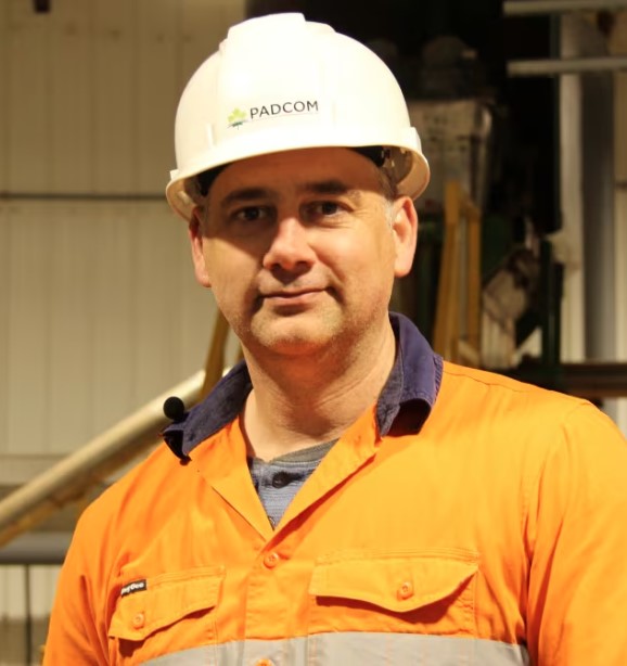
 Daymon Guillas, PADCOM
| Description: | Abstract Title: Manitoba Métis Federation – Red River Métis Tools in the Review of Mining Projects The Manitoba Métis Federation (MMF), the National Government of the Red River Métis, represents more than 120,000 Red River Métis Citizens within Manitoba, and many more beyond the provincial boundaries. As such, Red River Métis Citizens have the potential to be impacted by mineral exploration, mine development, mine closure and remediation across Manitoba. In order to effectively assess the potential impacts of the mining industry on Red River Métis s. 35 rights and provide meaningful feedback through crown consultation and proponent engagement, the MMF has implemented many tools. These tools include Resolution No. 8, Community Consultation Meetings, Red River Métis Knowledge, Land Use and Occupancy Studies, and Technical Reviews. The MMF’s presentation will provide more detail on each of these tools, detail the successes, and discuss gaps in the overall process. |
|
|---|---|---|
| Sponsor: | ||
|
|
||
| Sponsor: | |||
|---|---|---|---|
|
|
|||
| Description: | Glenn will discuss the importance of building respectful and meaningful partnerships with First Nation communities, highlighting the collaboration between Missanabie Cree and the Renabie Mine as an example of successful partnership development between communities and the mineral industry. |
|---|---|
| Sponsor: |
| Sponsor: | ||||
|---|---|---|---|---|
|
|
||||
| Description: | Abstract Title: The Burntwood Lake syenite-carbonatite complex: implications for REE mineralization and exploration in the Trans-Hudson Orogen of Manitoba By: Chris G. Coueslan, Tania Martins, Anton R. Chakhmouradian, Matthew A. Friesen The Burntwood Lake syenite complex is located in the Kisseynew Domain of Manitoba. The complex consists of a heterogeneous pluton of generally clinopyroxene-bearing syenitic rocks. Multiple carbonatite intrusions were discovered during field work in 2023 and 2024, which are distributed over a 0.5 km2 area in the northern part of the complex. There appears to be an increase in the density and size of carbonatite intrusions in the vicinity of a 0.14 km2 area of low ground in the northern part of the complex. This could imply that it is underlain by more easily eroded, carbonate-rich rocks. Carbonatites from similar tectonic settings in California and China host several world-class deposits of rare-earth elements (REEs), which are considered critical minerals by the Government of Canada. Carbonatite intrusions have now been discovered in association with syenite complexes at Burntwood, Brezden, and Eden lakes in the Trans-Hudson Orogen of Manitoba. These discoveries are an important step towards recognizing a new ‘Trans-Hudson alkaline-carbonatite igneous province’, which has potential value for critical mineral exploration. |
||||
|---|---|---|---|---|---|
|
|
|||||
| Description: | In the process of discovering an ore body, there comes a time when a geological company is required to venture out into doing an assessment of how feasible the find will be. CCMEC is presenting a panel of three industry experts who are highly experienced in doing just that. These experts may be the first peopleyou call to assess amenability to mineral processing. Each panel member plays an integral part in assessing mineralogical samples, but in slightly different ways. So, join the session as they answer critical questions in the evaluation process. |
||
|---|---|---|---|
| Sponsor: | |||
|
|
|||


 Dave Peck, Grid Metals
 Earth Ex
 Sponsored By: Earth Ex
 Alan Aubut


 Earth Ex
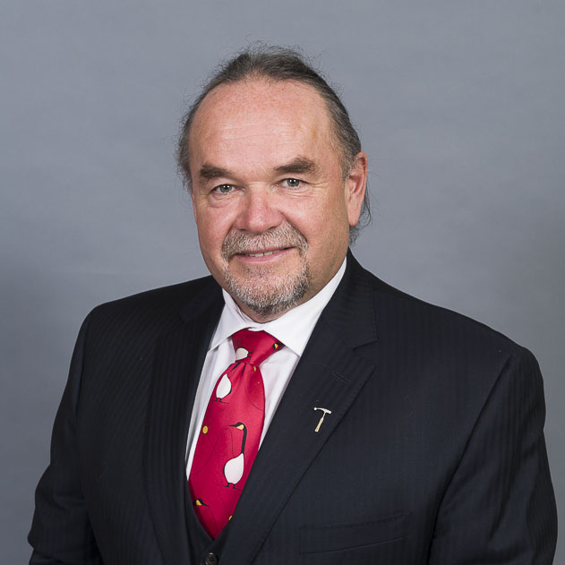 Glenn Nolan, Vice President, Indigenous Enterprises
 CYR Drilling